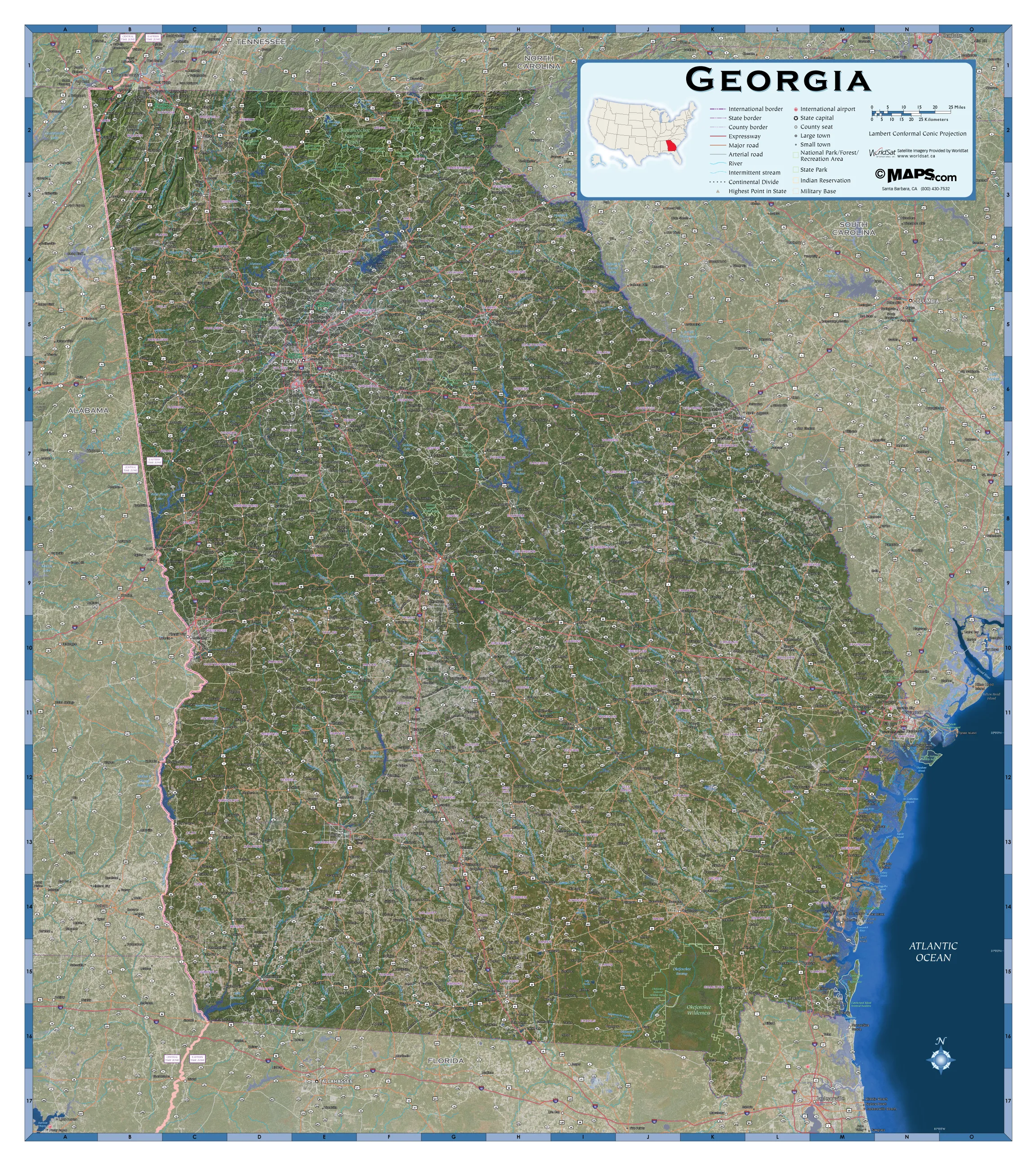
Data included on this Georgia Satellite Map:
International and State Borders
County Names and Borders
Large and Small Cities*
Highways and Freeways
Lakes, Rivers, Dams
Mountain Ranges, Deserts, Islands
Highest Point
Wilderness Areas
International Airports
Military Bases
National Parks
*Large cities refers to 10,000 or more residents. Small cities refers to fewer than 10,000 residents.
The Georgia Satellite Wall Map by Maps.com is perfect for when you need a US state county map that's clear, concise, up-to-date and includes satellite imagery. Perfect for home, business and classrooms, this satellite map of Georgia has just the right amount of counties, cities, roads and geographic features.


